


Congratulations to the 2023 Ray Smith Scholarship Recipients Copy
The Colorado Motor Carriers Foundation is proud to announce the 2023 Ray Smith Scholarship Winners. Congratulations and good luck as you continue your education...
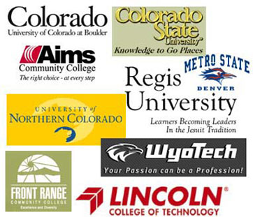
During Back to School Season, Consider Options Besides College
While the beginning of the month of August is prime summer vacation time, getting towards the end of the month is a different story. By the end of August, most kids in the U.S. are heading back to school. For those older kids who are nearing the end of their high school career, they need to get ready to make some big life decisions. What should they do after high school?


The Voice of Colorado's Trucking Industry!
The Colorado Motor Carriers Association is a 501(c)6 membership organization, established in 1939 to unite the trucking industry and its business strength throughout the State of Colorado.
The CMCA Provides:
- Technical assistance to members seeking information and clarification on compliance, regulatory and safety issues.
- More than 50 training classes per year
- Member-only benefit programs to help you save time and money for your business
- A sounding board for trucking issues in the state
Training Classes
May
22
Wed
Cost: $300 members; $400 non-members & walk-ins
This Seminar Covers: Full range of all DOT regulations, including Driver Qualification, Hours of Service, CSA and Vehicle Requirements. Applicable for Safety Managers and Administration. Read More…
Jun
13
Thu
Cost: $140 members; $225 non-members & walk-ins
This Seminar Covers: Elements of the DOT Annual Vehicle Inspection, taught by a former CO State Patrol Inspector. Learn how to correctly perform an Annual Vehicle Inspection and discover Appendix A. Applicable for Safety Managers and mechanics. Read More…
Jun
19
Wed
Cost: $300 members; $400 non-members & walk-ins
This Seminar Covers: Full range of all DOT regulations, including Driver Qualification, Hours of Service, CSA and Vehicle Requirements. Applicable for Safety Managers and Administration. Read More…
Subscribe to filtered calendar
Upcoming Events
Jun
1
Sat
Join us at the Adams Country Fairgrounds, 9755 Henderson Road in Brighton. Facts for Drivers books are available at the CMCA offices. Contact Kate ([email protected]) with any questions or if you would like to volunteer.
Register here!
Jun
3
Mon
Truck Driving Championships are being held over the weekend, so the CMCA Office will be CLOSED on Monday, June 3rd.
Subscribe to filtered calendar
CORPORATE PARTNERS

